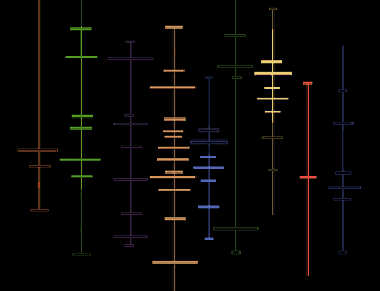
| Topology | |

|
|
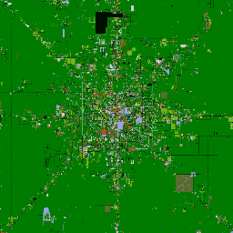
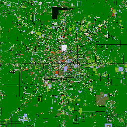
| AlphaWorld in December 1996 | AlphaWorld in February 1998 |
"Satellite" maps of AlphaWorld, a large 3D multi-user virtual worlds run by ActiveWorlds. The maps were produced by Roland Vilett. By comparing the two maps you can clearly see the degree urban development in AlphaWorld.
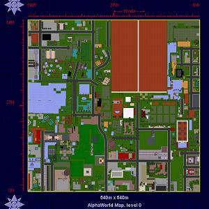
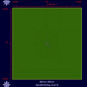
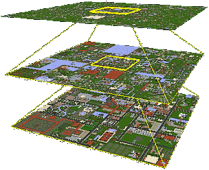
Greg Roelofs and Pieter van der Meulen of the Advanced Technology Group at the Philips Multimedia Center (PMC) in Palo Alto, California have developed a sophisticated multi-scale map of AlphaWorld . Using their marvellous map it is possible to explore geography of AlphaWorld through a range of scales, at its most detailed the map provides an aerial-photo style view of streets and buildings.
|
|
| Scale - Level 0 | Scale - Level 10 |
|
|
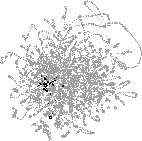
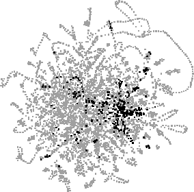
Trail maps of the web browsing paths produced by ten weeks of surfing by Matthew Chalmers and his colleagues at Ubilab, Union Bank of Switzerland. You can search the paths for relevant web pages, which are highlighted as black dots. See their paper "The Order of Things: Activity-Centred Information Access" for more information on their research.
|
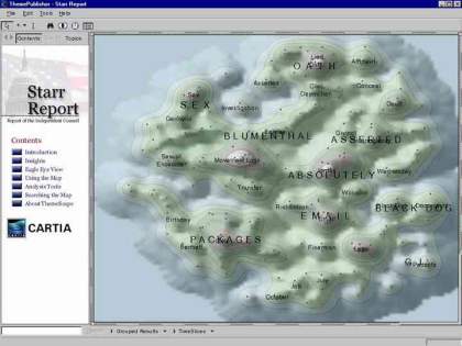
An example map from Luc Girardin's, The Graduate Institute of International Studies, Switzerland, "cyberspace geography visualisation" system. |
| This is a WEBSOM document map of a Usenet newsgroup produced by the Neural Networks Research Centre at the Helsinki University of Technology, Finland. |

|
|
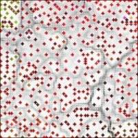
"ET-Map" - a cybermap of the information space occupied by the URLs of over 100,000 entertainment related web pages. ET-Map is one of a number of information "landuse" map produced by Hsinchun Chen, University of Arizona, USA. |
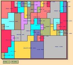
| This example is Sitemap developed by Xia Lin, University of Kentucky, maps part of the Web space relating to astronomy and space science as stored in the Yahoo directory. The hierarchical, text listing in Yahoo is transformed into landuse cybermap. |

|
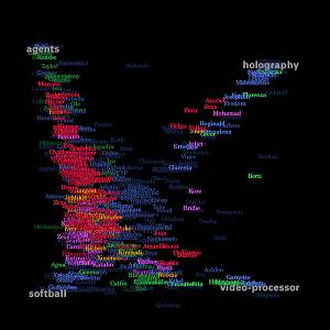
| A map of the social patterns of an electronic community produced by Visual Who developed by Judith S. Donath, Media Lab, MIT, USA. |
|
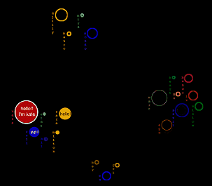
See their paper on Circles at CHI'99 for further information.
|
|
|
|
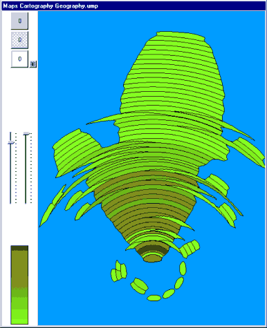
A information map produced using Trivium's Umap, an interesting information mapping tool which turns results from web search engines into maps which you can interactively explore to find relevant information. |
[ Introduction
| Conceptual
| Artistic
| Geographic
| Cables & Satellites
| Traceroutes
| Census
| Topology
|  Info Maps
| Info Landscapes
| Info Spaces
| ISP Maps
| Web Site Maps
| Surf Maps
| Historical
]
Info Maps
| Info Landscapes
| Info Spaces
| ISP Maps
| Web Site Maps
| Surf Maps
| Historical
]
| Topology |