[ Introduction
| Conceptual
| Artistic
| Geographic
| Cables & Satellites
| Traceroutes
| Census
| Topology
| Info Maps
| Info Landscapes
|  Info Spaces
| ISP Maps
| Web Site Maps
| Surf Maps
| Historical
]
Info Spaces
| ISP Maps
| Web Site Maps
| Surf Maps
| Historical
]

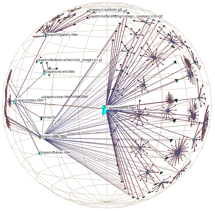
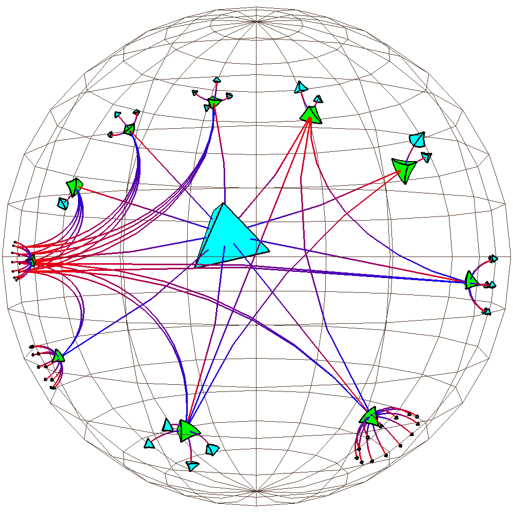
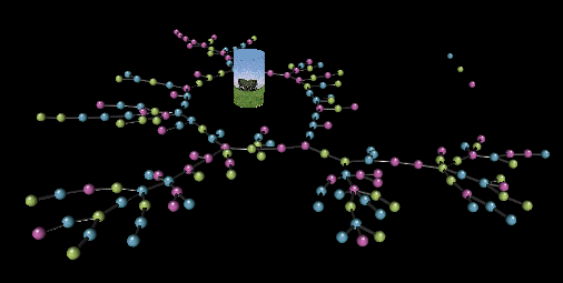
Three-Dimensional Information Spaces
Three dimensional virtual spaces are being used to map information for easy exploration and navigation.
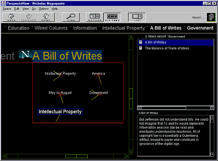
| The information visualisation and navigation tool called PerspectaView being developed by Perspecta. Their information space is created using the SmartContent System. |
|
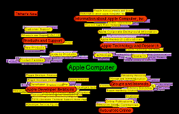
Visualising information spaces using Apple's Meta Content Format (MCF). The "Hotsauce" plug-in allows you to fly thru the information. |
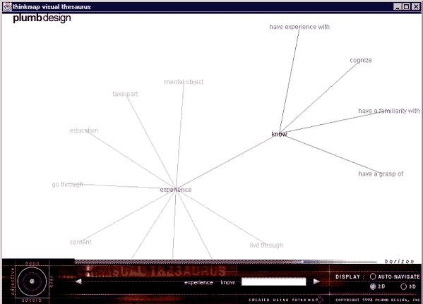
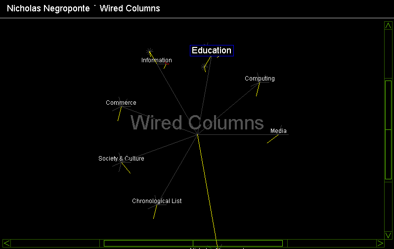
An example of Plumb Design's Thinkmap information space being used to map out a visual thesaurus.
|
|
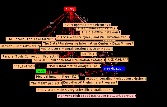
![]() Visualisation of search results from Web queries in SQWID (Search Query Weighted Information Display), an interesting Java-based tool being developed by Scott McCrickard, Colleen Kehoe, Amy Opalak, at the Georgia Institute of Technology.
Visualisation of search results from Web queries in SQWID (Search Query Weighted Information Display), an interesting Java-based tool being developed by Scott McCrickard, Colleen Kehoe, Amy Opalak, at the Georgia Institute of Technology. ![]()