
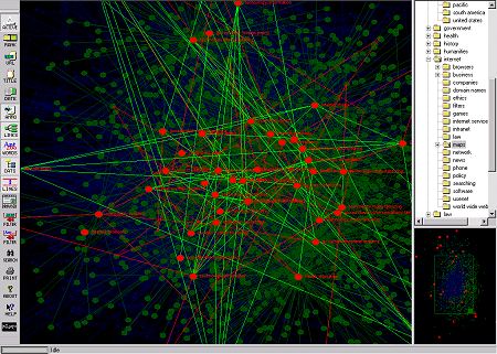
We present a range of Surf maps, dynamic tools for visualising Web browsing, visually graphing the structure of the Web as you go. The examples use both 2d graphs and more sophisticated three dimensional visualisation techniques.
|
|
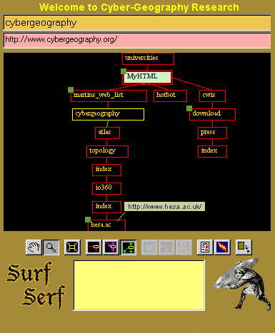
| SurfSerf, shown opposite, is another helper application that produces a two dimension graph of your Web browsing. It shows you the structure of the sites you visited and how they are linked together. |
|
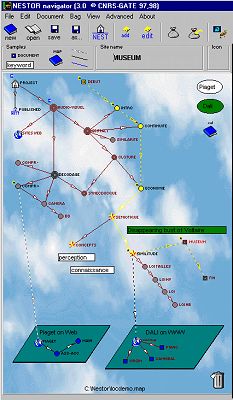 |
The Nestor Navigator is an experimental tool that provides several navigational and mapping tools for Web browsing. It is being developed by Romain Zeiliger, a researcher at Centre National de la Recherche Scientifique (CNRS) GATE, near Lyon, France. |
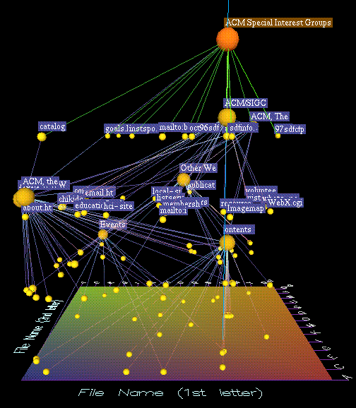
| Natto View, a dynamic 3D visualisation of the Web. It is being developed by H. Shiozawa and Y. Matsushita, Faculty of Science and Technology, Keio University, Japan. |
|
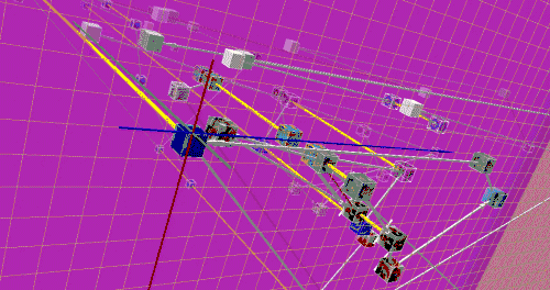
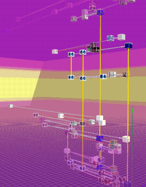
These images show WebPath, "... a tool that unobtrusively visualises a user's trail as they browse the Web", developed by Emmanuel Frécon, a researcher in the Distributed Collaborative Environments group at SICS. See this paper for more information, Frécon E. & Smith G., (1998), "WebPath - A three-dimensional Web History", 1998 IEEE Symposium on Information Visualization (InfoVis '98), Chapel Hill. NC, USA. |